Flooding is the most common and costliest type of natural disaster in the United States (Lightbody, 2017). According to a 2017 report by the Pew Charitable Trusts, federal insurance claims averaged $1.9 billion annually between 2006
and 2015. Metropolitan Chicago is not immune to these impacts. To the contrary, a 2019 journalistic investigation reported that flooding in Chicago has been so severe in the past decade that only coastal cities susceptible to hurricanes have received more federal aid for flooding (Hawthorne & Greene, 2019). Moreover, flooding throughout the Midwest and Northeast is projected to worsen due to an increase in annual rainfall and more intense and more frequent downpours, according to the Third National Climate Assessment (Melillo, Richmond, & Yohe, 2014).
This article explores an often-overlooked aspect of this problem: the disproportionate impact of urban flooding in communities of color, much of it occurring outside the floodplains delineated in the Federal Emergency Management Agency’s (FEMA; 2019) flood risk maps. It explores why urban flooding, which occurs when precipitation overwhelms local drainage systems, is such a highly localized phenomenon. The article begins with a review of relevant research on the topic. Next, the authors analyze flood-related insurance claims data for the years 2007–2016, across 59 zip codes that are located within or intersect the City of Chicago. This data encompass 229,743 claims totaling $433 million in insurance payouts. The final section explores policy strategies to address urban flooding that have proven to be effective in Illinois municipalities.
Interactive Map
View the interactive Flood Equity Map here.
Fact Sheet
Download the companion Urban Flooding Fact Sheet here.
Urban Flooding
Learn more about urban flooding here.


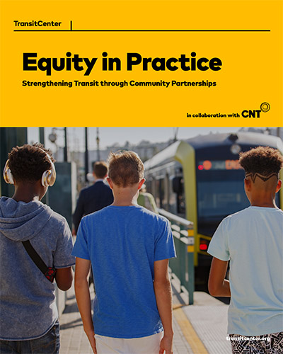
 Strengthening Transit Through Community Partnerships


