Finding a solution begins with understanding the problem

We partner with government, private, and nonprofit groups to research, listen, collaborate, design and solve challenges so neighborhoods work better. How can we help you?

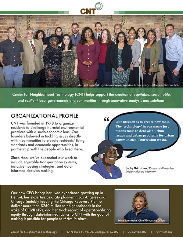
CNT Overview & Capabilities

Want to learn more? The CNT Overview document summarizes our work areas and skills.

Download PDF

Core Capabilities

Our bottom-up, data-informed approach to problems produces evidence-based solutions:

  • Analysis
    We’re known for rigorous, interdisciplinary analysis of urban and regional problems, both quantitative and qualitative.

  • Engagement & Empowerment
    Our staff collaborates with local partners and government leaders, empowering them to improve communities both independently and alongside public institutions.

  • Innovation
    We deliver data-informed policy, financial, and technological solutions, leveraging cutting-edge tools and insights to drive impactful change.

  • Community Collaboration
    We partner with you to recognize gaps in service and devise innovative strategies to address challenges we discover jointly.

We’re proud to be known for building sophisticated data tools, developing online resources to make findings usable, and creating common-sense approaches to planning and sustainable development.

Partnering with CNT

Our expertise in urban sustainability has been commissioned by governments, advocates, policy makers, and community groups. Our capabilities include urban planning, sustainability strategies, policy, spatial analysis, GSI, transportation infrastructure, impact metrics and indicators, web tool design, and community outreach.

 

Featured Work

AllTransit

AllTransit™ is the largest source of transit connectivity, access, and frequency data in America. It offers tremendous potential for planning applications to increase our understanding of the value of transit, as well as to enhance service and operations planning.


Housing + Transportation Affordability Index

The Housing + Transportation (H+T®) Affordability Index provides a comprehensive view of affordability that includes both the cost of housing and the cost of transportation at the neighborhood level.


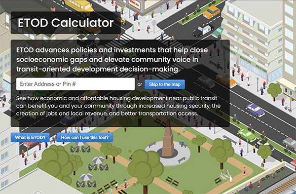
ETOD Social Impact Calculator

Discover the social and economic impacts of your affordable housing development and the benefits of locating it near transit.


Urban Opportunity Agenda Tool

The Urban Opportunity Agenda website offers ideas and metrics for simultaneously combatting poverty and promoting urban sustainability.


Urban Flooding Baseline Project

Center for Neighborhood Technology is developing a visualized map of flooding indicators and urban flooding locations in the Calumet region of Cook County.


Green Values Calculator

The Green Values Calculator compares the performance, costs, and benefits of Green Infrastructure to conventional stormwater practices.


RainReady

RainReady helps individuals, businesses, and communities find solutions to the problem of urban flooding.


Great Lakes Water Infrastructure

Analyzing and Proposing Solutions to Water Infrastructure Failures in Great Lakes Cities


Right Size Parking Calculator

The King County Right Size Parking Calculator provides estimated parking/unit ratios for multi-family developments throughout urban areas of Seattle’s county.


RainReady Calumet Corridor

The Center for Neighborhood Technology is partnering with Greenprint Partners and Cook County to implement green infrastructure projects in six RainReady communities in the Calumet Corridor: Blue Island, Calumet City, Calumet Park, Dolton, Riverdale, and Robbins.