


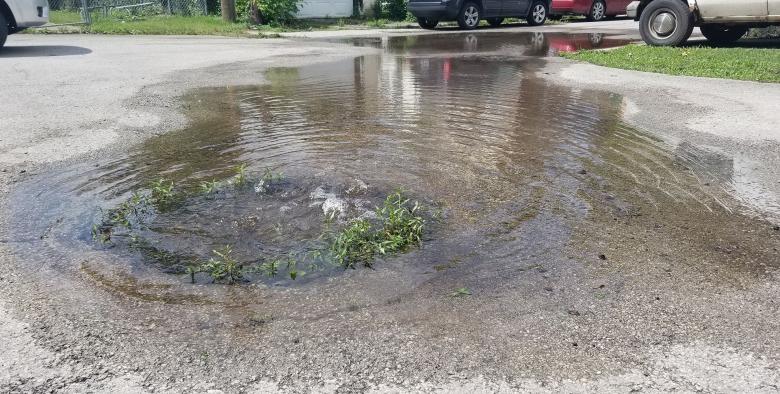
The Urban Flooding Baseline Project seeks to clearly define the problem of urban flooding in the Calumet region using available quantitative data sources and first-hand pictorial data from residents to improve flood mitigation plans. At the end of July, we completed the Pilot and Phase 1 of the resident data collection. Each resident data collection leader is assigned a 1.5 mile x 1.5 mile region in the communities for Dolton, Dixmoor, Harvey, Markham, Phoenix, Posen, or Riverdale and is paid for their work. After a storm has happened, data collection leaders travel through their region to upload photos and descriptions of flooding they see in rights of way (like streets and sidewalks) and public property. Data collection leaders wear a yellow vest clearly announcing the project, have a clipboard to handout flyers to residents, place signs in their car windows to visibly state the project, and most importantly use their mobile phone which is how they access the CNT developed web-based app to upload their flood photos.
The data collection efforts have been noticed by residents. After the multi-day rains in later June, one of the data collection leaders in Harvey was approached by several homeowners who wanted to share their flooding experiences to the city staff. The data collection leader shared the purpose of the project and the homeowners appreciated that someone was working to start addressing the issue.
16 data collectors from the community captured over 1000 photos from 13 storms of locations that indicate areas of flooding or potential flooding concern.
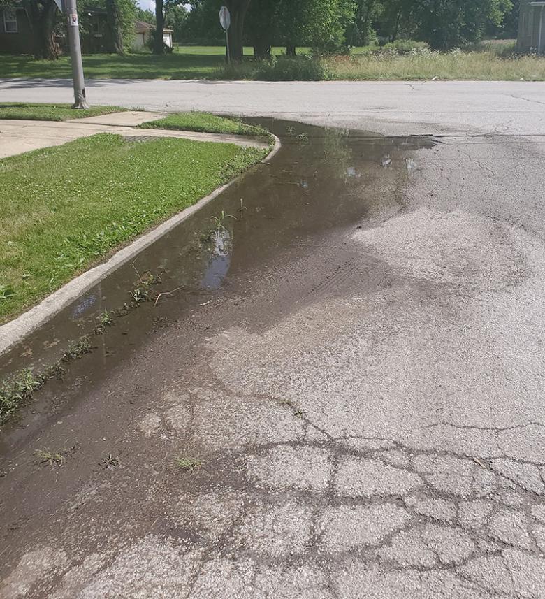
We currently have 16 data collectors. Over the Pilot and Phase 1, our data collectors went out after 13 storms and have uploaded almost 1000 photos of locations that indicate areas of flooding or potential flooding concern. Phase 2 of the project will begin in September and go through May 2022 to capture storms from the fall and spring, as well as any fast snow melts that might also overwhelm the sewer system.
In addition to photograph data collection, we are also asking for residents in the larger Calumet region to fill out this survey so that we can collect people’s experiences with flooding. We know that uplifting stories of people’s experience is crucial to any data effort.
 RSS Feed